tc3 97 61.pdf
Vista previa de texto
Mountain Terrain, Weather, and Hazards
cirrostratus. Sometimes the only indication of cirrostratus clouds is a halo around the sun or moon.
Cirrostratus clouds tend to thicken as a warm front approaches, signifying an increased production of ice
crystals. As a result, the halo gradually disappears and the sun or moon becomes less visible.
High-Level Clouds
Figure 1-7. Cirrus.
Figure 1-8. Cirrostratus.
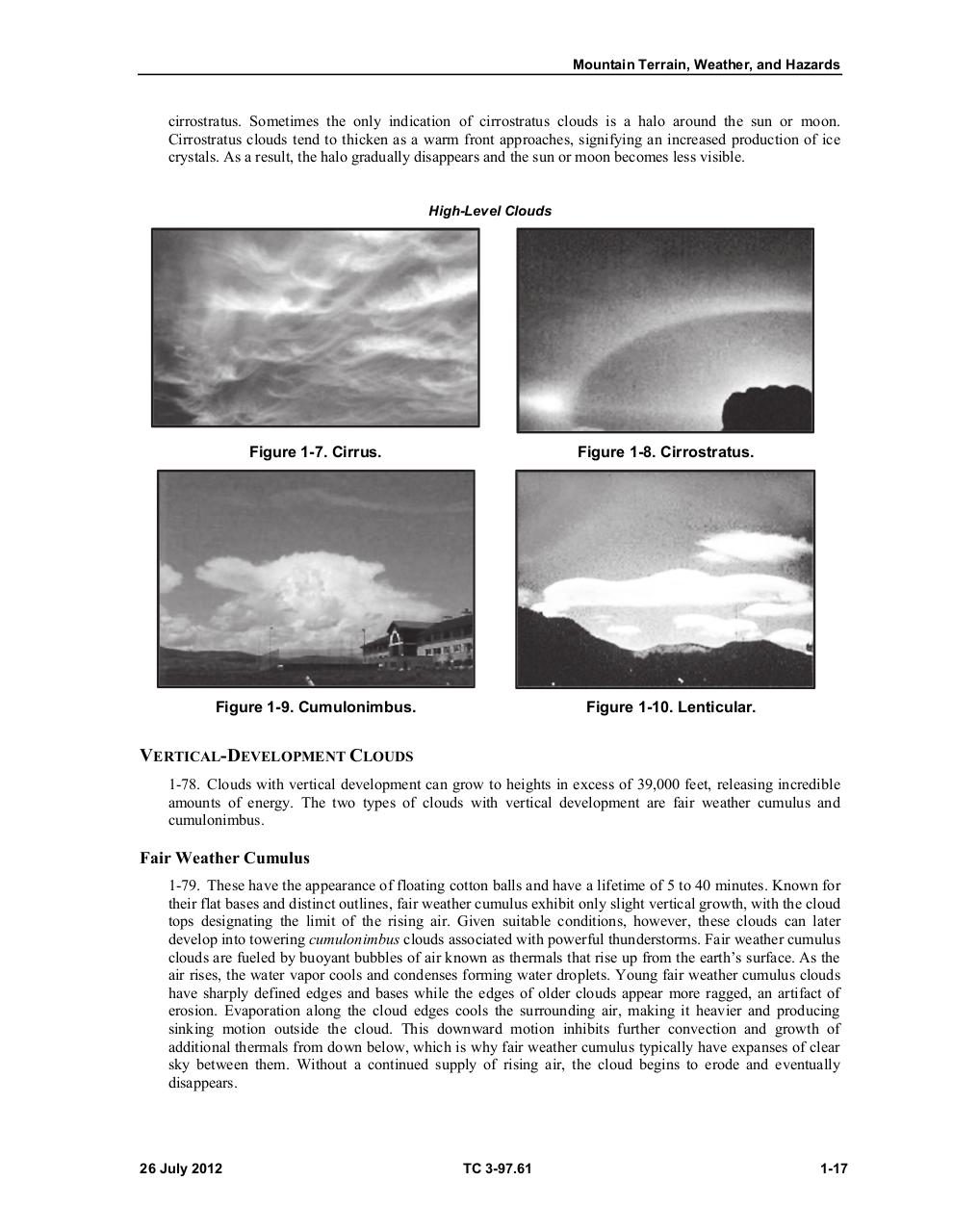
Figure 1-9. Cumulonimbus.
Figure 1-10. Lenticular.
VERTICAL-DEVELOPMENT CLOUDS
1-78. Clouds with vertical development can grow to heights in excess of 39,000 feet, releasing incredible
amounts of energy. The two types of clouds with vertical development are fair weather cumulus and
cumulonimbus.
Fair Weather Cumulus
1-79. These have the appearance of floating cotton balls and have a lifetime of 5 to 40 minutes. Known for
their flat bases and distinct outlines, fair weather cumulus exhibit only slight vertical growth, with the cloud
tops designating the limit of the rising air. Given suitable conditions, however, these clouds can later
develop into towering cumulonimbus clouds associated with powerful thunderstorms. Fair weather cumulus
clouds are fueled by buoyant bubbles of air known as thermals that rise up from the earth’s surface. As the
air rises, the water vapor cools and condenses forming water droplets. Young fair weather cumulus clouds
have sharply defined edges and bases while the edges of older clouds appear more ragged, an artifact of
erosion. Evaporation along the cloud edges cools the surrounding air, making it heavier and producing
sinking motion outside the cloud. This downward motion inhibits further convection and growth of
additional thermals from down below, which is why fair weather cumulus typically have expanses of clear
sky between them. Without a continued supply of rising air, the cloud begins to erode and eventually
disappears.
26 July 2012
TC 3-97.61
1-17