tc3 97 61.pdf
Vista previa de texto
Chapter 1
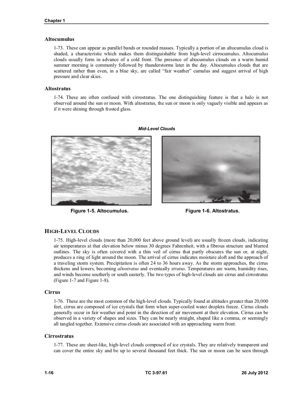
Altocumulus
1-73. These can appear as parallel bands or rounded masses. Typically a portion of an altocumulus cloud is
shaded, a characteristic which makes them distinguishable from high-level cirrocumulus. Altocumulus
clouds usually form in advance of a cold front. The presence of altocumulus clouds on a warm humid
summer morning is commonly followed by thunderstorms later in the day. Altocumulus clouds that are
scattered rather than even, in a blue sky, are called “fair weather” cumulus and suggest arrival of high
pressure and clear skies.
Altostratus
1-74. These are often confused with cirrostratus. The one distinguishing feature is that a halo is not
observed around the sun or moon. With altostratus, the sun or moon is only vaguely visible and appears as
if it were shining through frosted glass.
Mid-Level Clouds
Figure 1-5. Altocumulus.
Figure 1-6. Altostratus.
HIGH-LEVEL CLOUDS
1-75. High-level clouds (more than 20,000 feet above ground level) are usually frozen clouds, indicating
air temperatures at that elevation below minus 30 degrees Fahrenheit, with a fibrous structure and blurred
outlines. The sky is often covered with a thin veil of cirrus that partly obscures the sun or, at night,
produces a ring of light around the moon. The arrival of cirrus indicates moisture aloft and the approach of
a traveling storm system. Precipitation is often 24 to 36 hours away. As the storm approaches, the cirrus
thickens and lowers, becoming altostratus and eventually stratus. Temperatures are warm, humidity rises,
and winds become southerly or south easterly. The two types of high-level clouds are cirrus and cirrostratus
(Figure 1-7 and Figure 1-8).
Cirrus
1-76. These are the most common of the high-level clouds. Typically found at altitudes greater than 20,000
feet, cirrus are composed of ice crystals that form when super-cooled water droplets freeze. Cirrus clouds
generally occur in fair weather and point in the direction of air movement at their elevation. Cirrus can be
observed in a variety of shapes and sizes. They can be nearly straight, shaped like a comma, or seemingly
all tangled together. Extensive cirrus clouds are associated with an approaching warm front.
Cirrostratus
1-77. These are sheet-like, high-level clouds composed of ice crystals. They are relatively transparent and
can cover the entire sky and be up to several thousand feet thick. The sun or moon can be seen through
1-16
TC 3-97.61
26 July 2012