Digital citizen empowerment a sytematic literature review fusionado.pdf
Vista previa de texto
JeDEM 6(1): 69-79, 2014
77
Figure 7: Semantic navigation for finding points of interest
16
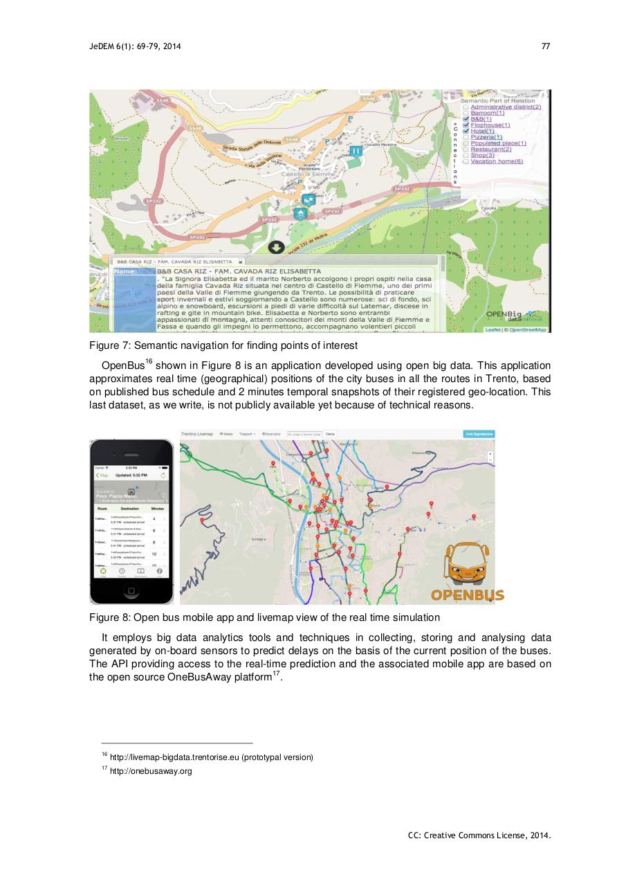
OpenBus shown in Figure 8 is an application developed using open big data. This application
approximates real time (geographical) positions of the city buses in all the routes in Trento, based
on published bus schedule and 2 minutes temporal snapshots of their registered geo-location. This
last dataset, as we write, is not publicly available yet because of technical reasons.
Figure 8: Open bus mobile app and livemap view of the real time simulation
It employs big data analytics tools and techniques in collecting, storing and analysing data
generated by on-board sensors to predict delays on the basis of the current position of the buses.
The API providing access to the real-time prediction and the associated mobile app are based on
17
the open source OneBusAway platform .
16
http://livemap-bigdata.trentorise.eu (prototypal version)
17
http://onebusaway.org
CC: Creative Commons License, 2014.